Stats:
Distance: 50.5
Average Speed: 11.9 mph; Max Speed: 32.0 mph
Elevation Gain: 1157 ft
Average Temp: 83.4 F; Temp Range 62.6-100.4 F
Story:
Jim & Patty continued to be excellent hosts this morning, brewing some stellar coffee before I even began to pack up (I had come up to the house to use the restroom).
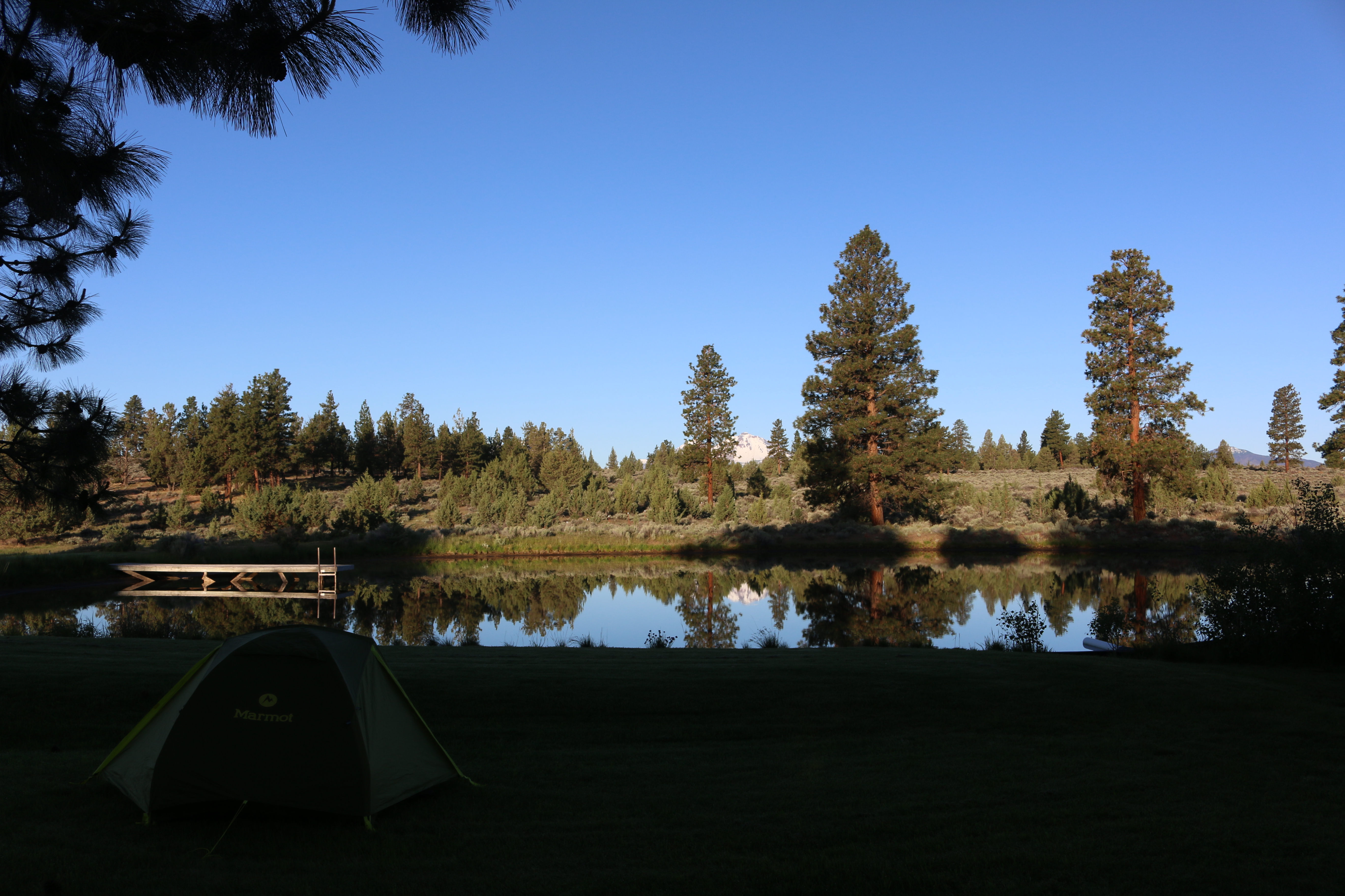
Where I woke up, Day 7
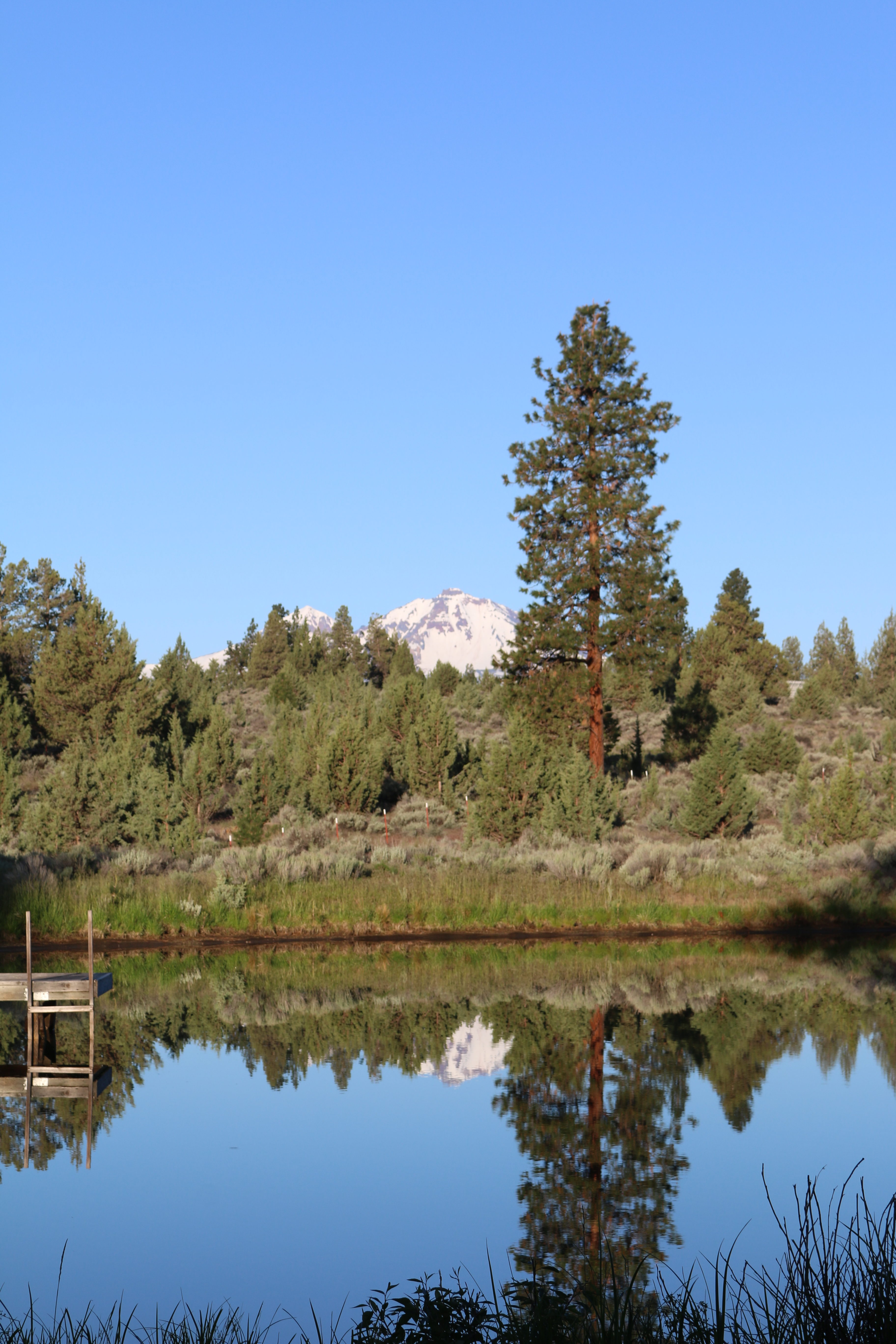
Just look at this view
I had overestimated how much food to make last night, so I had the remainder for breakfast this morning (a refrigerator is an amazing luxury, too bad they’re too heavy to pack along) along with one of the gluten free pancakes Jim was cooking. While I ate, I added my own entry to their book of past cyclists, the first one this year. Patty stopped me from washing the dishes, insisting I focus on getting ready and on my way, so I did. With my water bottles full of water straight from the well, I headed out.
One of the things I didn’t fully appreciate was how my day’s distance would be dictated so fully by the spread of towns and services. Oh, in my mind I knew it would matter, but experiencing it is a whole other thing. 50 miles is not a very long day, but the next available place to stay was a further 23 miles, at the top of a mountain pass, with no water available. I possibly could have filled up my Camelbak and made the climb, but I didn’t want to test my knees with a second mountain pass the day after my first. So I’ll ride the Ochoco pass tomorrow, the Keyes Creek Pass on Wednesay, and Dixie, Tipton & Sumpter passes on Thursday, ending in Baker City. That’s the plan, anyway. As we all know, flexibility is key. Still, I’m eager to put away map section 2 and make my way into Idaho, maybe even getting through some of the construction before they start repaving the roads… Maybe.
On the western side of McKenzie pass, the trees were tall, close together, and covered with growths dangling from their branches and catching water out of the air. On the other side of the mountain things are more desert-like. The trees are still pine, but shorter, more sparse, and the hills are full of scrub grasses and shrubs.
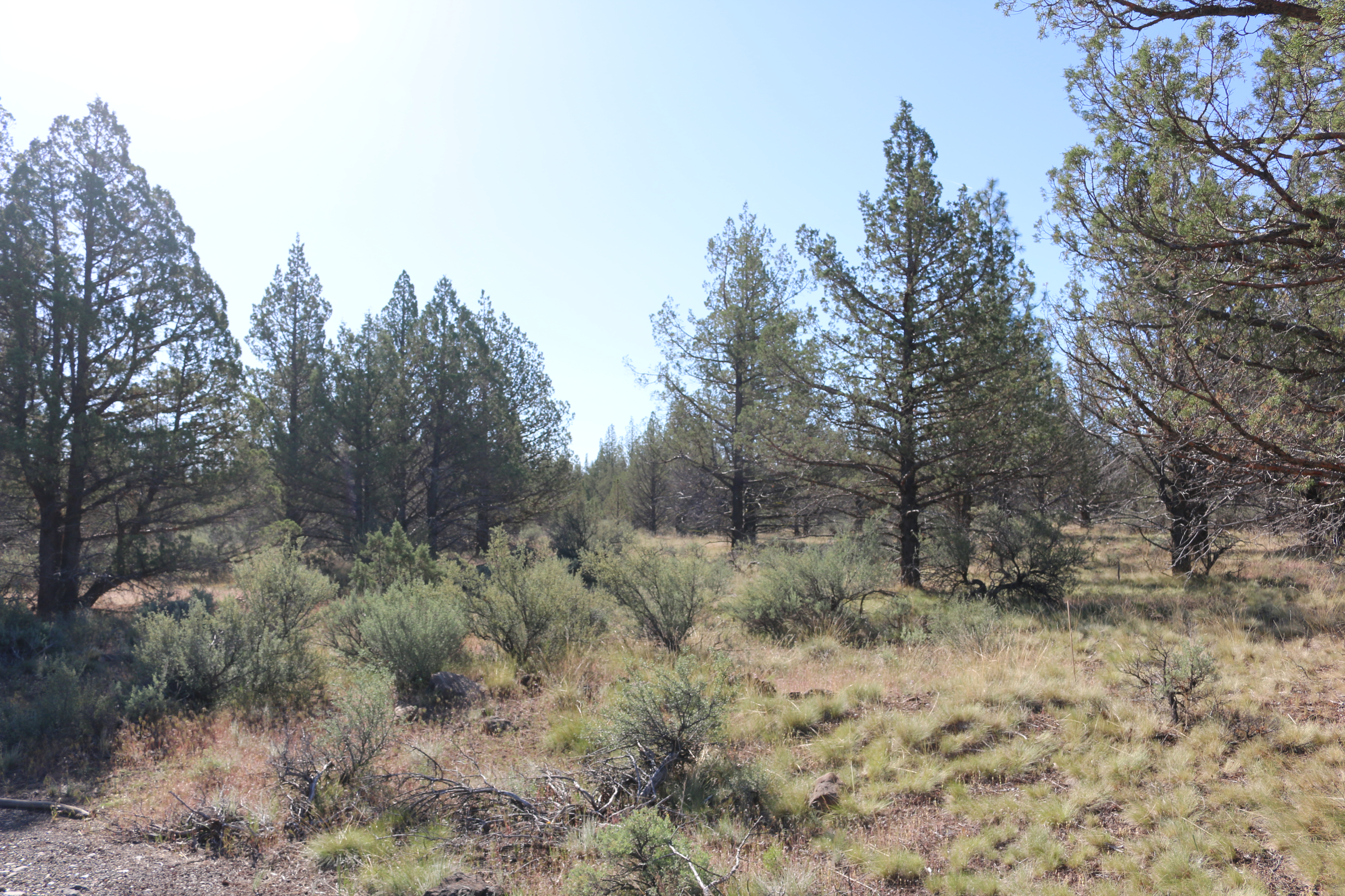
The scrubland is very different from the coastal forests.
It was also the first day where I got so hot that I had to stop and change out of my long sleeve shirt and tights. They dry air kept me drinking constantly, and I stopped twice to top off my water. I also nearly wiped out two times, both my own fault. Once I was crossing a street and making a left turn, and I started my turn on a patch of gravel. Road tires and gravel don’t mix well in the best of circumstances, and supporting a fully-loaded touring bike is far from the best of circumstances. The second time was a few minutes later and I was looking around for a grocery store and drifted a bit too far to the right. The side of the road had a number of those wide plastic markers, the ones that are flexible if you hit them in the direction of the road. I clipped one with my pannier and it upset my balance a bit, but I managed to stay upright. Mental note to be a bit more careful with the steering.
When not in a town, there were a lot of ranches. I saw quite a few cattle and sheep, and even some goats. The highlight of the day, though, was the alpaca ranch!
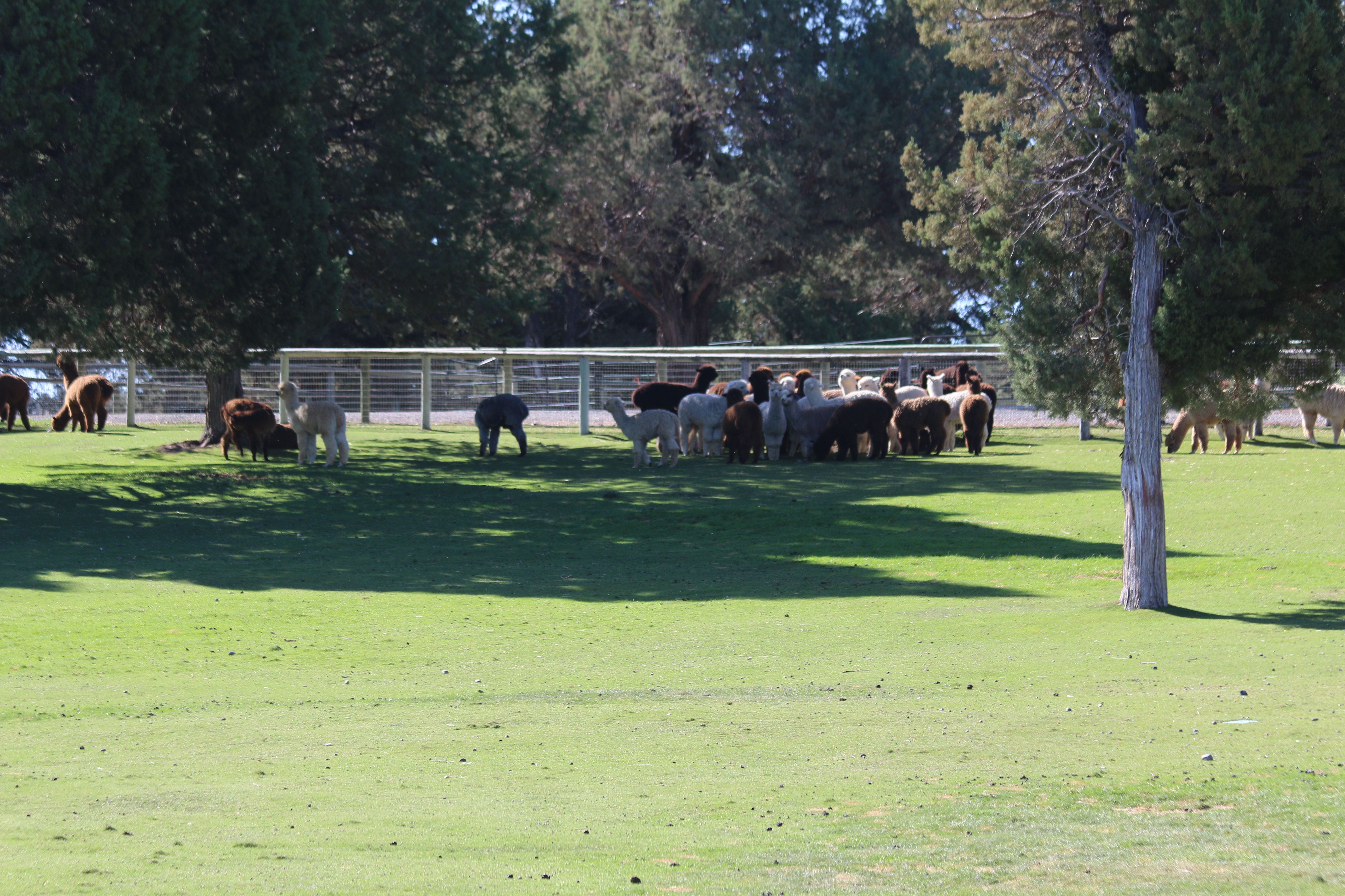
That’s a lot of alpaca.
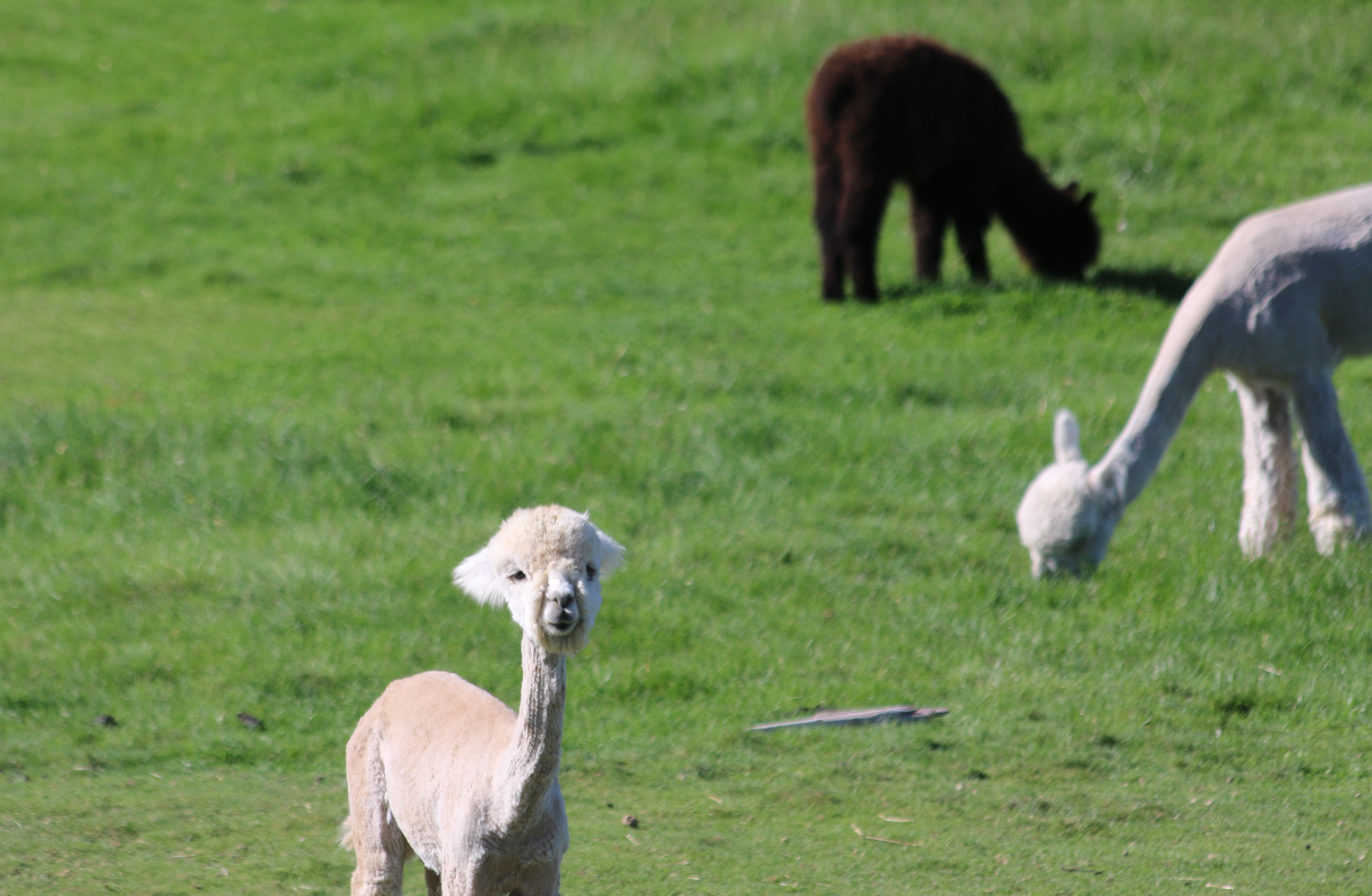
Look at that widdle face!
The wildlife is changing a bit too. This is the first live lizard I saw
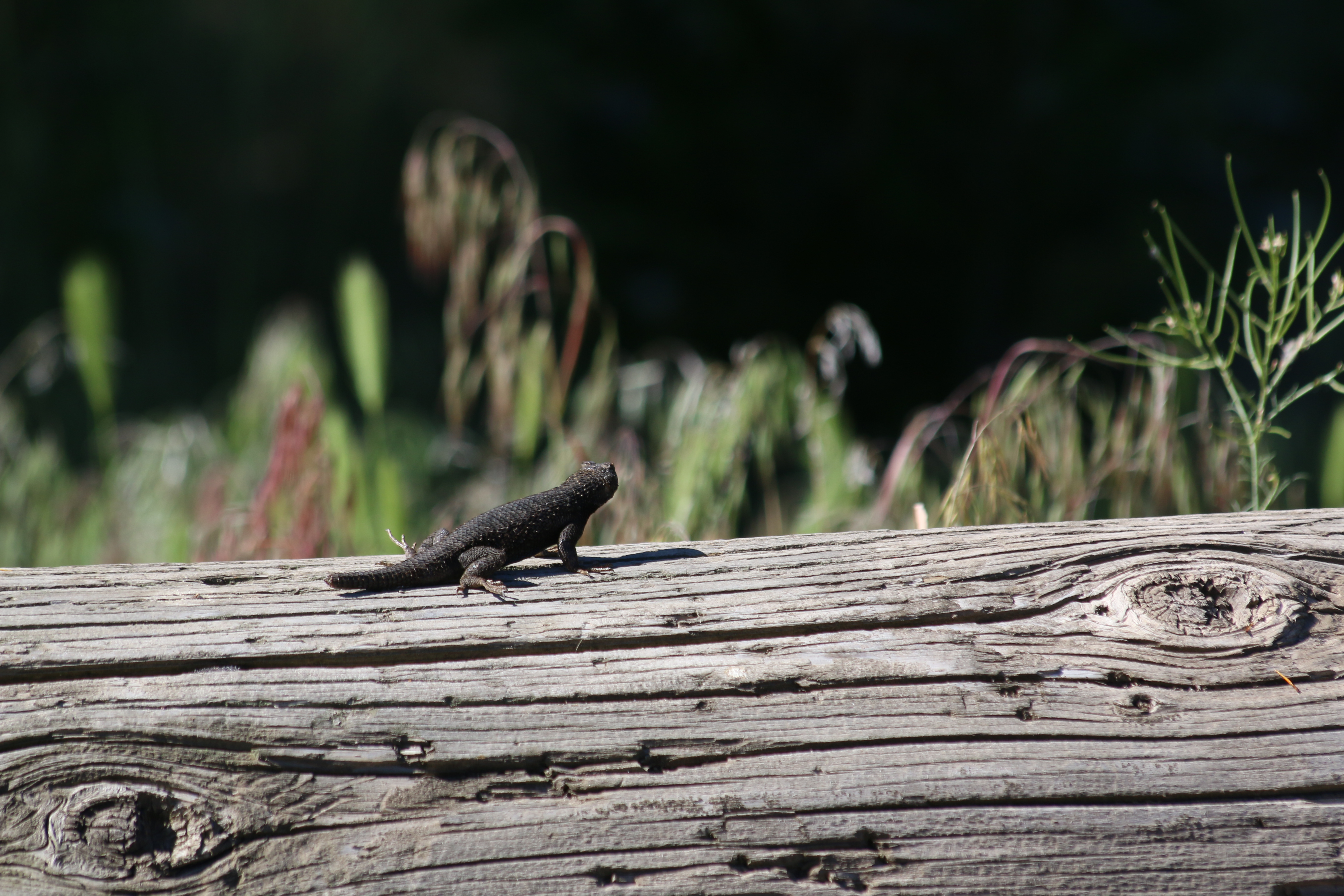
This lizard kept doing push-up displays.
Not all the new animas were kind enough to pose for a photo. Several magpies made appearances, and at one point a pair of quail darted across my path.
In Terrebonne, there was a place selling old carriages and farm gear. This carriage caught my eye.
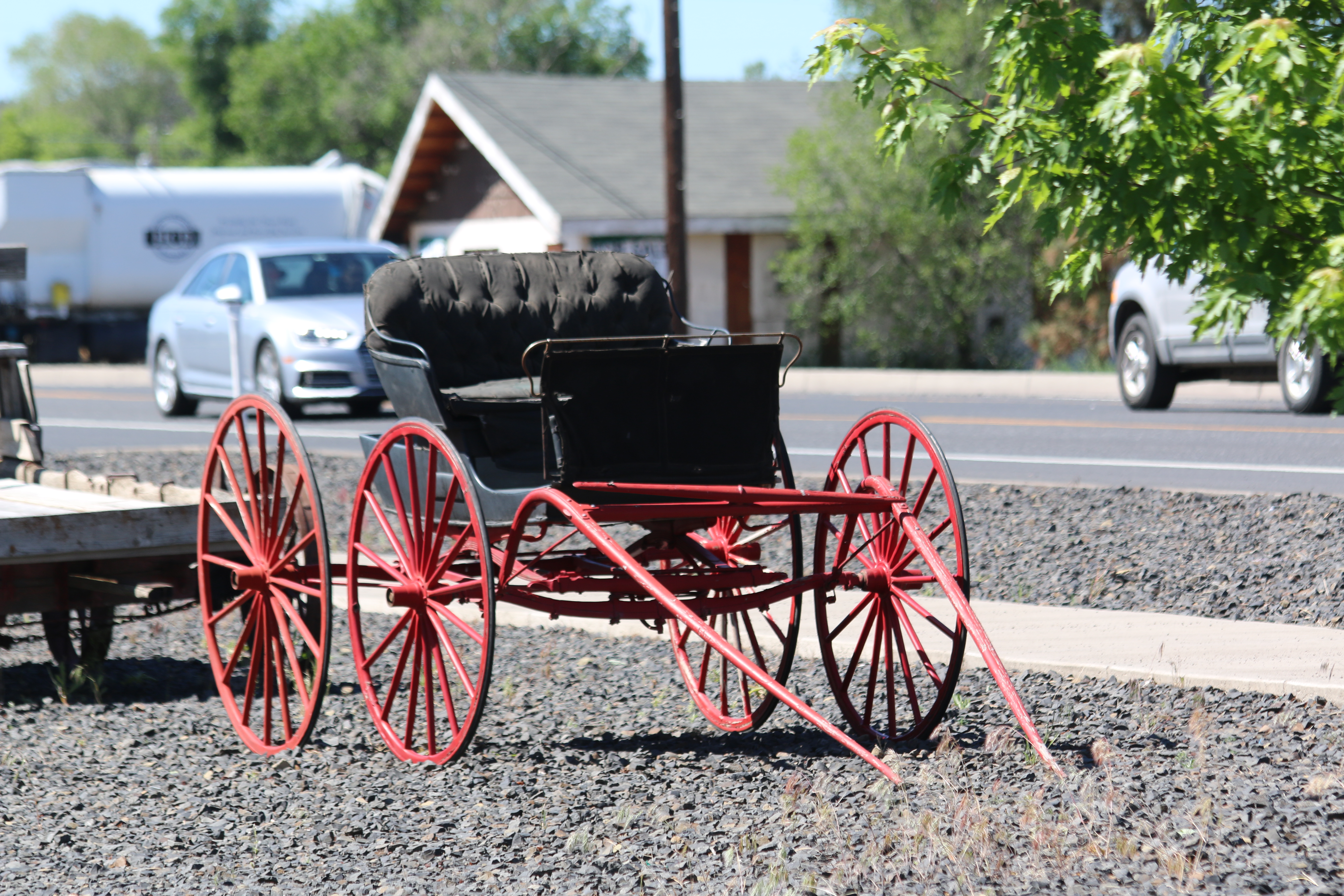
Would you like to go for a ride?
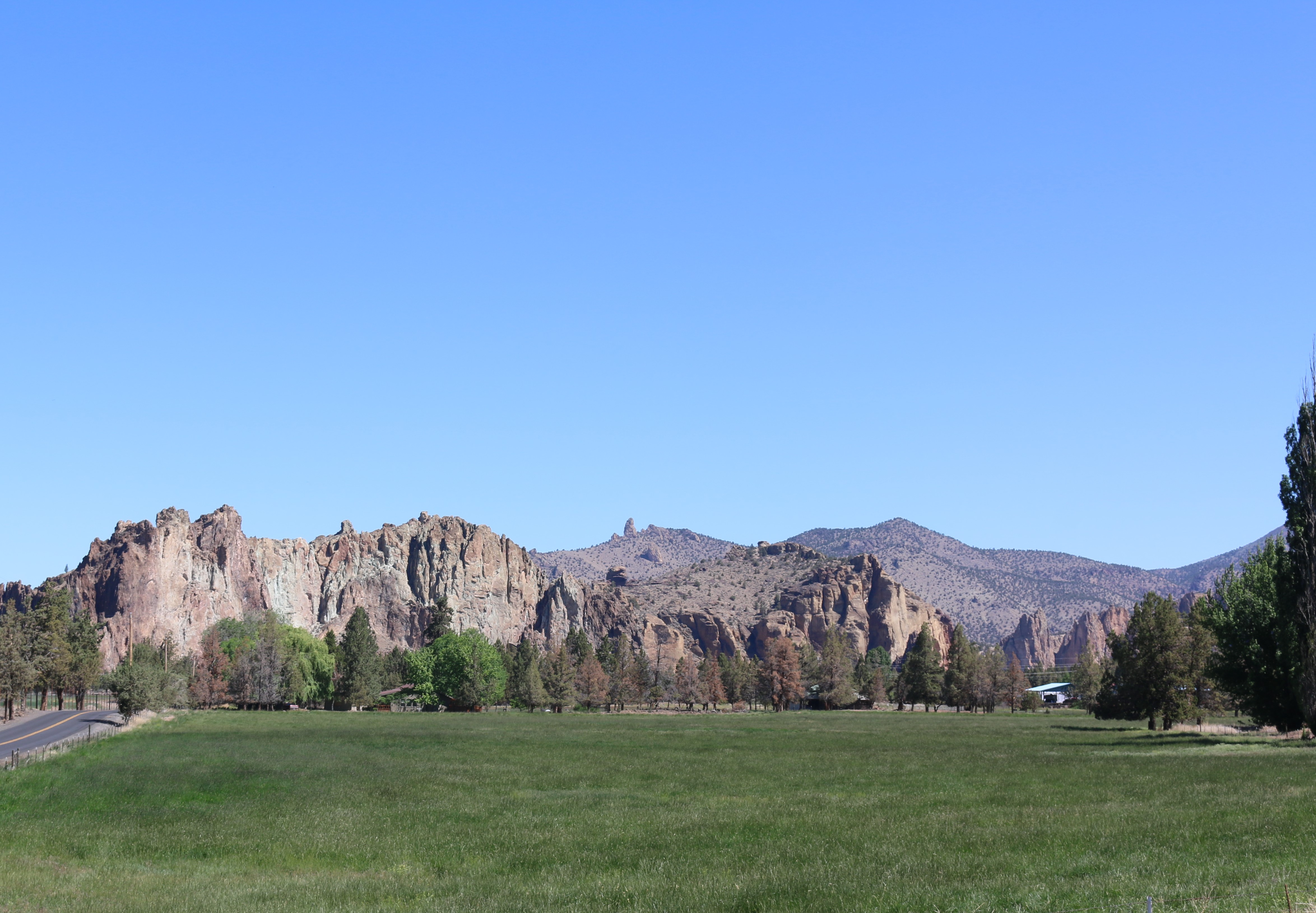
Smith Rock
At Smith Rock, a popular destination for rock climbers, I crossed paths with another cycle tourer. Isabella was on her way back home after an overnight shakeout ride in preparation for an ACA self-supported tour later this year. We chatted a bit about gear and training, and she gave me some information about the passes I’ll be riding in the next few days.
Tonight I’m camping in the Lake Ochoco County Park. It seems to be a popular destination, and I’m lucky I wasn’t here yesterday. I doubt there’d have been any spots left. It’s wide open today, though. There are still a few motorboats out on the lake, and I can hear the cars passing on the highway, but the boats will go home soon, and as a city dweller, traffic noise doesn’t bother me too much. Tonight should be a good night.
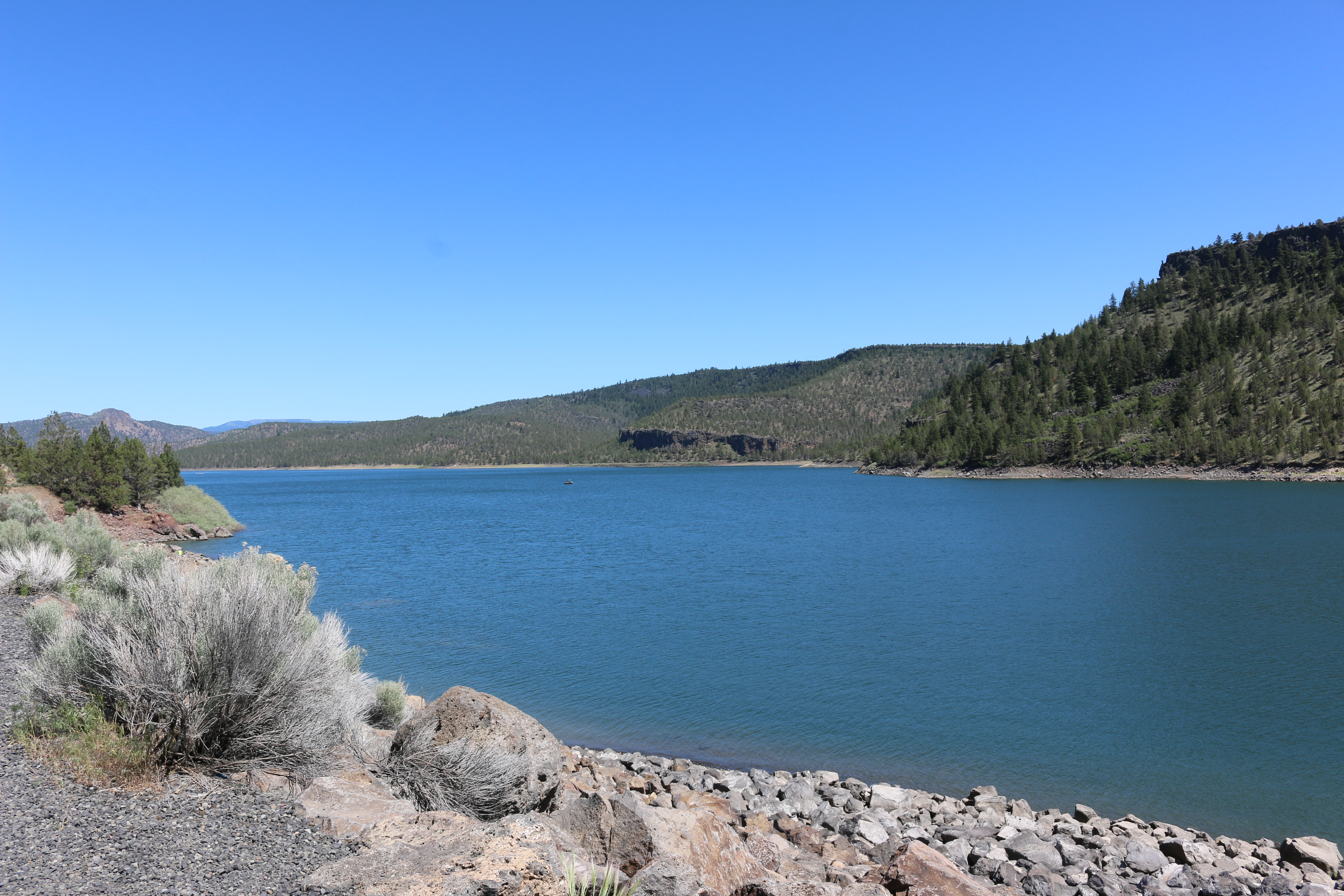
Lake Ochoco
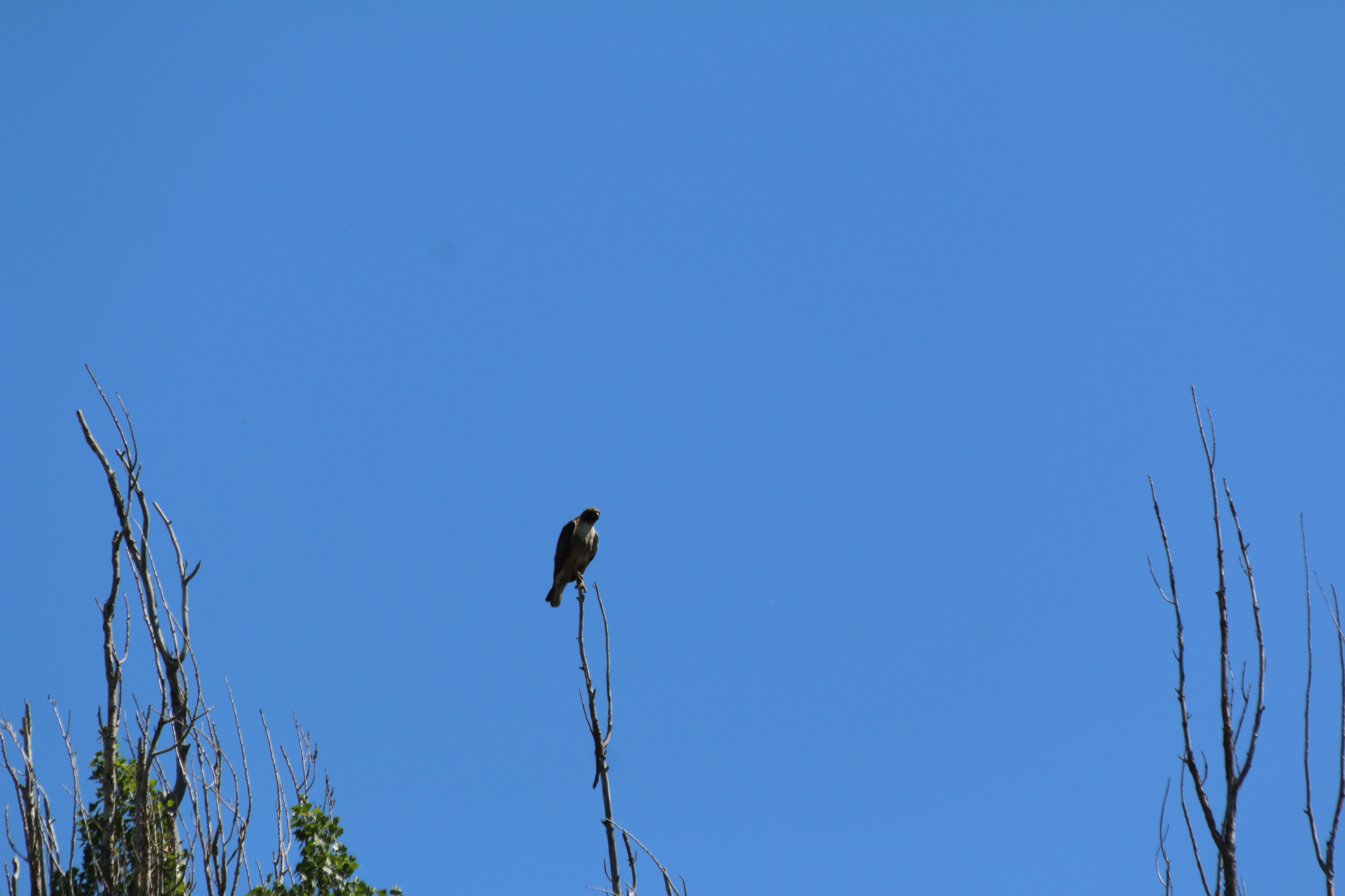
I think this might be a red-tailed hawk, but I couldn’t get a clear enough look.
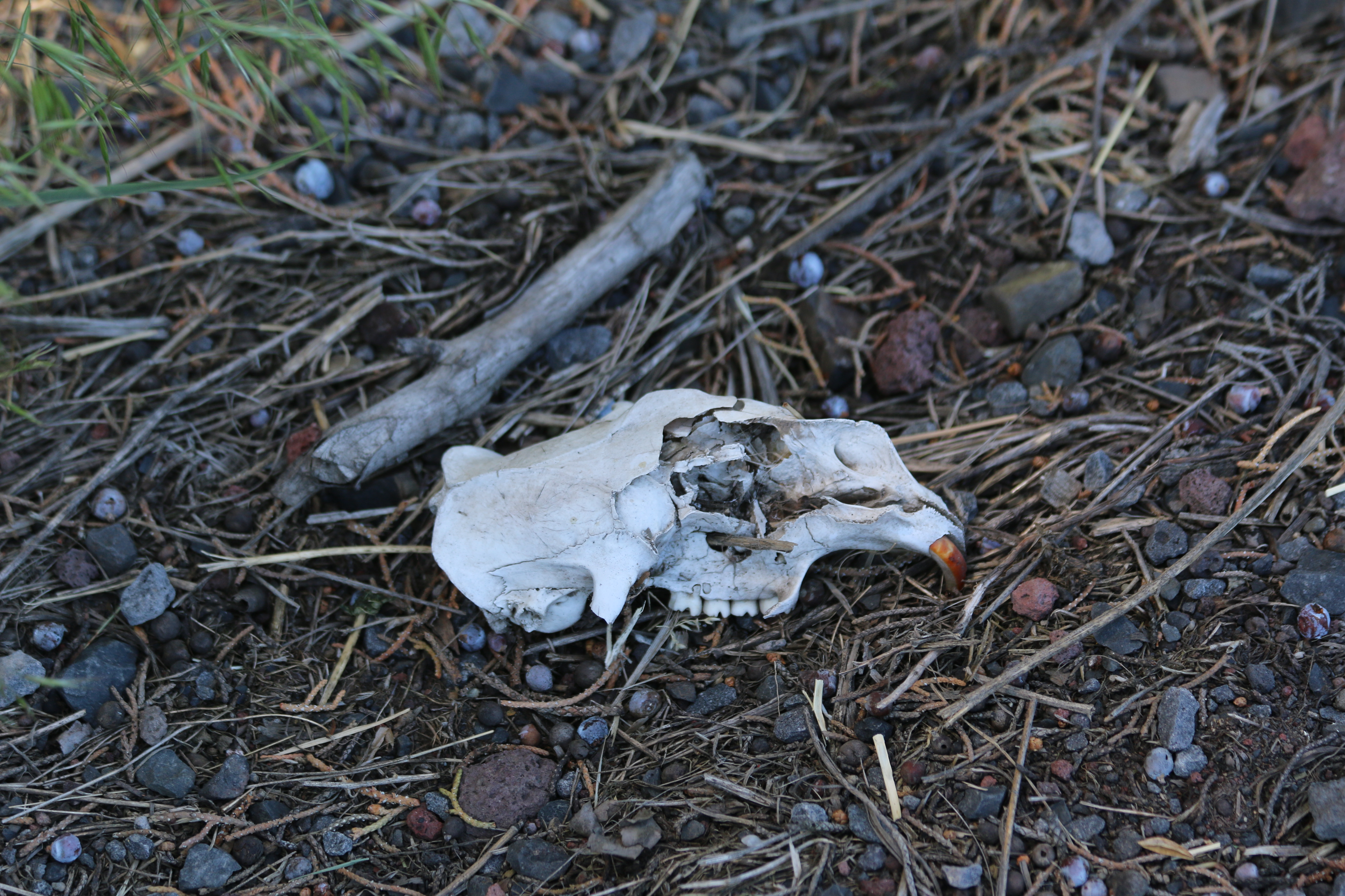
I found this by where I stopped for lunch. Let me know if you know what kind of animal it belonged to.
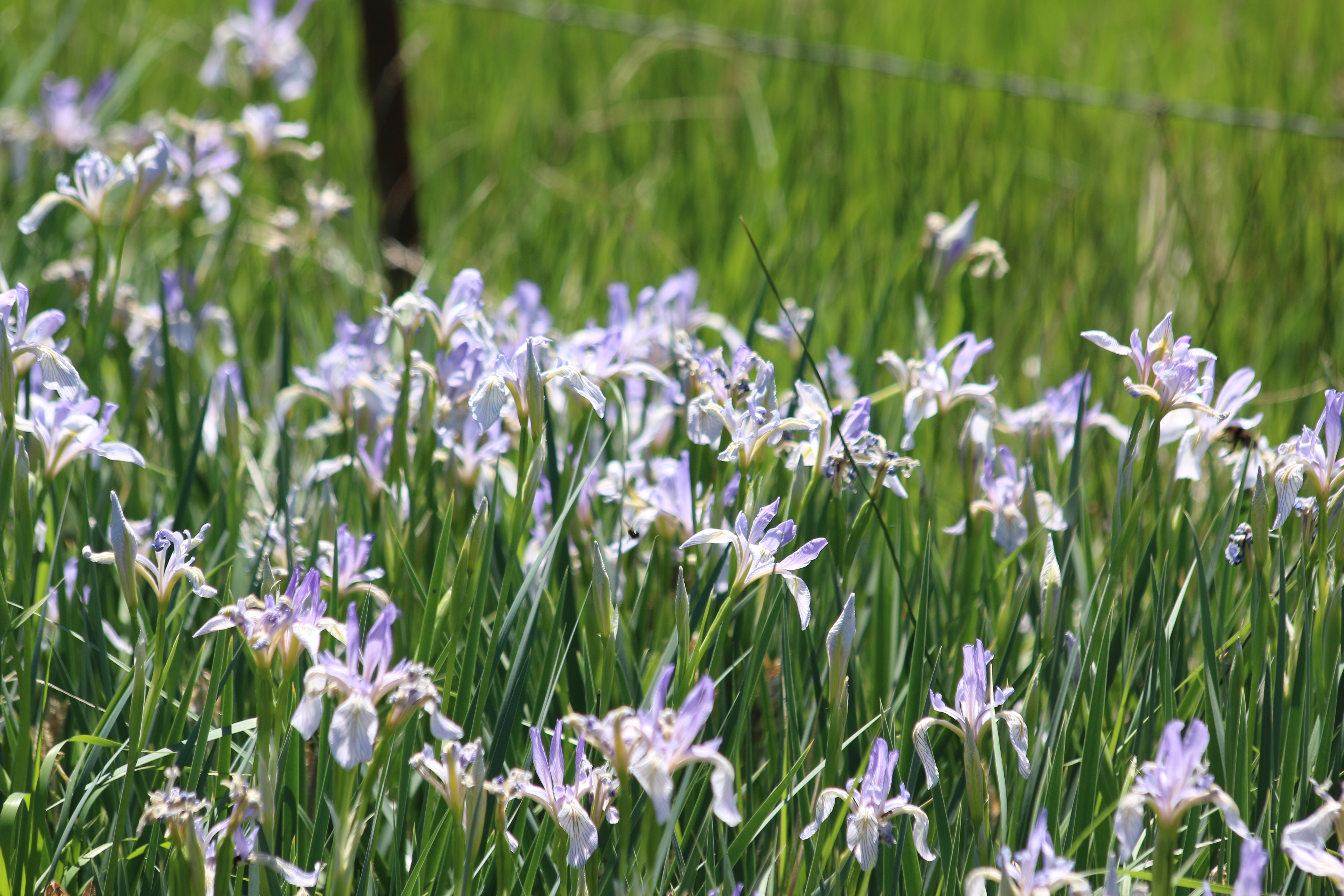
A field of flowers by the roadside.
Roadkill count: 1 raptor, 2 small birds, 4 unidentified mammals, 3 snakes.
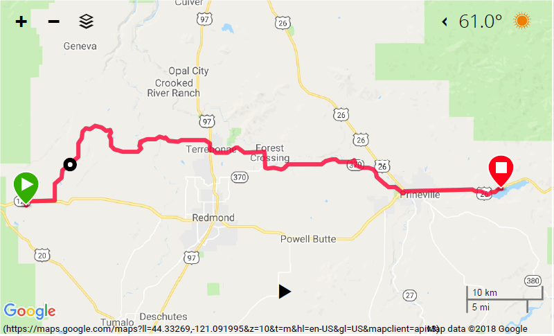
Map Day 7


That little alpaca!!! That “widdle face” is toooo cute!! That’s a lot of future sweaters, afghans, etc. 🙂
Wonderful blog! It is so nice to follow your trip and see your photos! Your prose is so lovely; I can picture what you are describing! Good luck as you continue your journey!
Weather forecast along your route:
THU: 40% chance of showers LO 39 HI 54
FRI: Sunny HI 65 LO 34
SAT: Sunny HI 75 LO 41
Sounds good! Pretty country out there. Enjoy the passes use all your gears!
Is the skull a beaver skull?
That little alpaca… too cute!
I agree with Kaitlin. I think that’s a beaver skull, or similar.
Alpaca! WOW!
Maybe a raccoon skull? Hope everything is still going smoothly! Stay safe!