7/24/18
Stats:
Distance: 75.48 mi
Average Speed: 10.9 mph; Max Speed: 33.9 mph
Elevation Gain: 3,990 ft
Average Temp: 76.7 F; Temp Range: 66.2-93.2 F
Story:
Most of the times I have camped or shared a hostel with other cyclists, they kept a schedule not too different from mine. Some went to bed earlier, some a bit later. The same went for waking up. I wasn’t often the first person awake. The same does not hold, apparently, for Appalachian Trail hikers. Or at least not this group. Their behavior might not match that of the thru-hikers that are travelling in the “bubble” of ideal time.
No picture…it didn’t feel right with so many other people who would be in it.
At one point when I woke up halfway during the night, something that happens most nights, I put my phone under my pillow so the alarm would be muffled when it went off. I can’t be certain that no one was disturbed by it, but nobody stirred, so I’m calling it a successful strategy. It took me a while to get ready and packed in the dim light inside the hostel, but I did. During that hour or so, only one person moved, and that was to go to the restroom and then go back to sleep. I was out the door around 6:50, before anybody else got out of bed.
It was grey and spitting rain at me when I left, but not enough to motivate me to take out the rain gear. The clothes I had hung up to dry overnight hadn’t, so they were strapped to the outside of my panniers and tent. It looks very classy, I assure you. I didn’t have much hope for them getting fully dry, though, with the entire sky covered in grey clouds. I wasn’t riding for more than an hour or so when the rain got persistent enough that I stopped to pull out the rain gear.
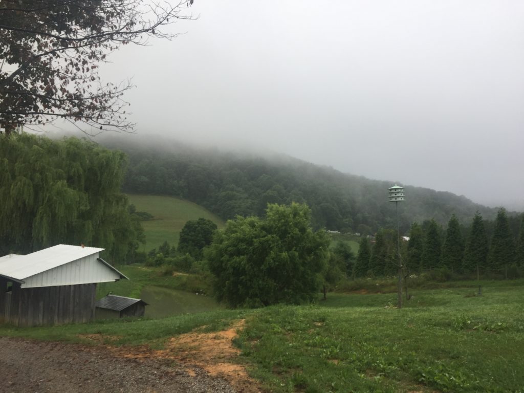
The low-hanging clouds hid mountains and promised rain
I filled up my water bottles in Daleville, about 20 miles in, and then passed through neighboring Troutville. As I was leaving Troutville the rain started to come down much harder and I looked around for shelter, spotting a store with an overhang not far away. It likely wouldn’t have mattered if they were open, but I didn’t have to worry about that since they wouldn’t open for another hour. I hunkered down there and took a break while the rain picked up to pouring then died to a drizzle.
For most of the rest of the day, things were predictable. There were climbs and descents but very little flat. The roads were small but dotted, or occasionally lined, with houses. The houses might have been the most interesting part of the day. Some were huge and well-placed (on rising ground…) with names like “Rocky Hill” or “One Oak” hung on posts by the driveway. Others were more modest, but well-cared for. And some were so run down they were hard to tell from their unoccupied neighbors except for when a car was parked in front. I saw a bit of this in eastern Kentucky as well, but it seemed to me that the fancy and the dilapidated were in closer quarters today.
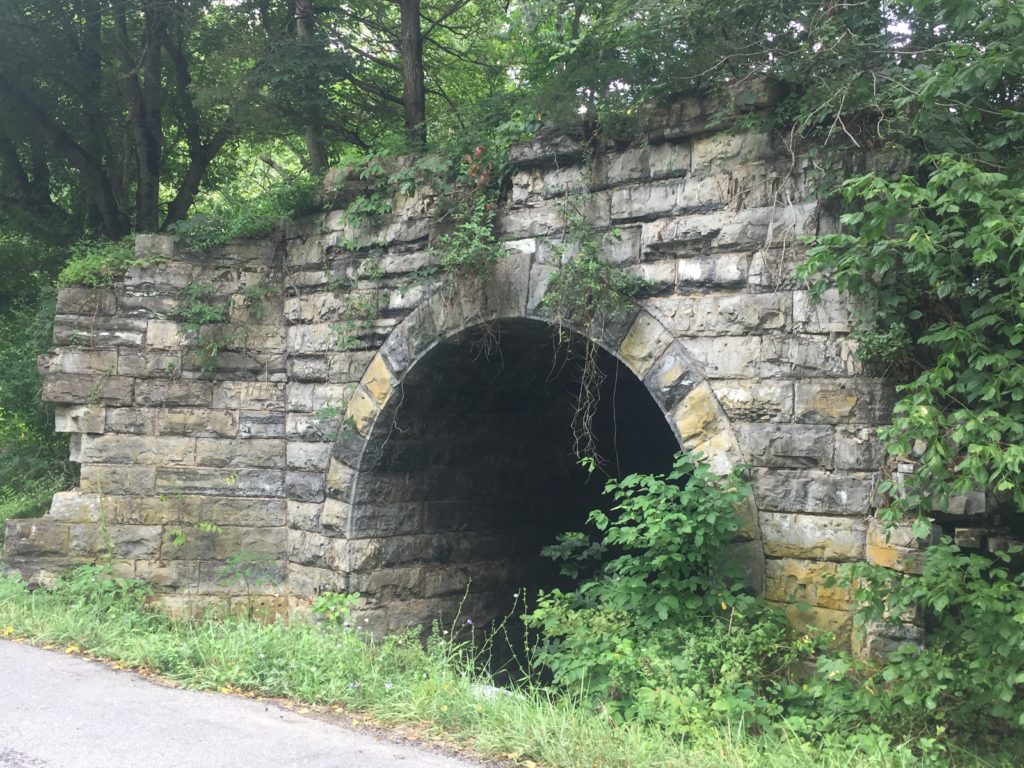
Remnants of an old stone bridge
The last town I passed through today was Lexington. The town was full of Civil War history, such as being the burial place of “Stonewall” Jackson. I only had about 10 miles more to ride, but I was developing a bit of a headache, so when I spotted a likely looking café, I stopped for some coffee. It was even better than that, when I saw they had a trendier-than-expected menu (I did not expect to see avocado toast up on the board) that included all-day breakfast. I got a breakfast burrito to go with my coffee. That breakfast burrito, stuffed with eggs, cheese, salsa, and hashbrowns) was one of the best things I’ve eaten on this trip. I also got to talking with the cook/cashier/only employee in the store (possibly owner). When I looked over my shoulder to check on my bike he assured me that it was safe, that in this town you could leave your car unlocked with the keys inside and it would be safe. I thanked him and commented that since I live in Chicago that idea is still a bit difficult to grasp for me. Not so difficult that I had locked up my bike, but difficult enough that leaving it unlocked and eating with my back to it concerned me. “It would be gone by now in Chicago,” I said. He commented that he had lived in Paris, so he understood. And even where he came from in the south of France he couldn’t have left things unattended like he could here. It was one of the things he really liked about Lexington, which was a big deal because there were plenty of things that he doesn’t like, such as the KKK being active in the area. Can’t say I blame him for that one. Before I left he packaged up a donut and handed it to me for my trip. I ate it later on with my dinner and it was as delicious as the breakfast burrito. With two culinary delights like that, I will go on record saying that if you’re ever in Lexington, VA, stop in at Pure Eats for some awesome food. At least the breakfast fare and donuts, anyway.
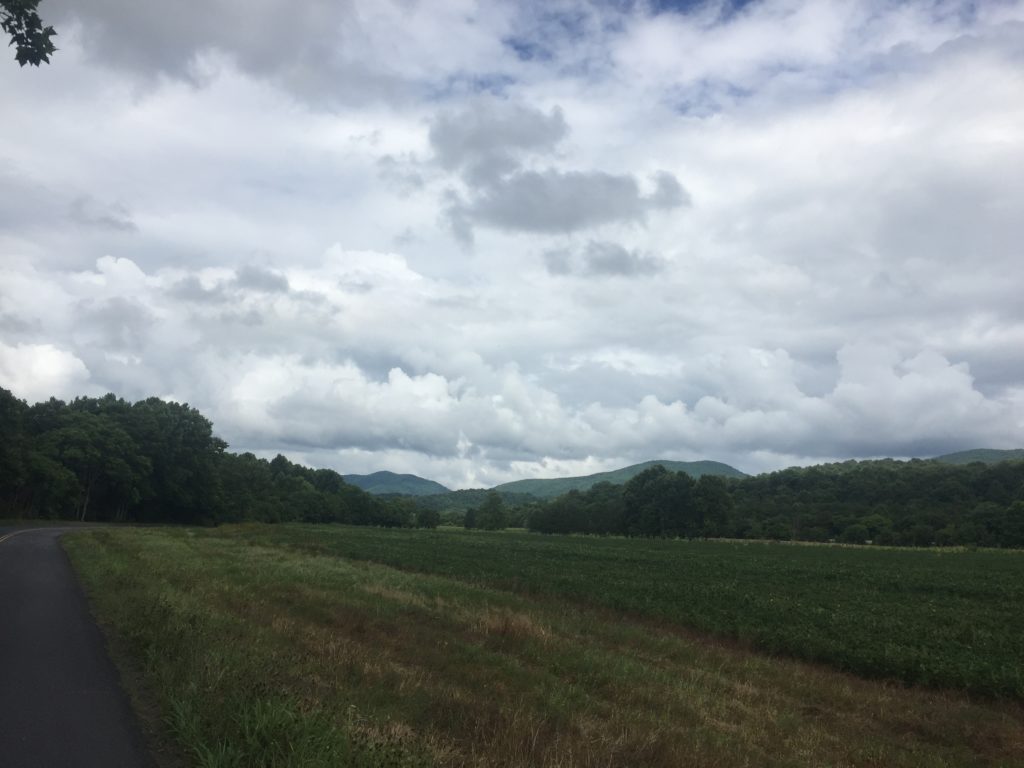
I saw a few patches of blue sky from time to time. Not many, though.
With the ACA maps on my Garmin, I can usually find the locations I’m aiming for when it comes to lodging. Today, for some reason, the campground I wanted didn’t show up. Possibly it didn’t load properly because the Garmin has limited memory for specific locations like that, but it started to concern me when I noticed that I had poor cell signal. Worse, I want to stay at The Cookie Lady’s House tomorrow, and you’re supposed to call ahead to do that. But the area was lightly populated and the road ran along a river, so I figured if push came to shove I could consider stealth camping for the first time ever. It didn’t come to that, though. The campground was almost exactly where I expected it to be.
The proprietor told me to set up my tent not in a tent site but under their pavilion because of the storms expected. Even as I type this, a storm has begun and I’m grateful to be under a roof. The wind isn’t bad, but the splatter is enough that I moved all my things to the tables in the center of the pavilion, and I’m debating whether or not to put up the rain fly.
The campground is sparsely populated, mostly by RVs that look like they’re set up long term; I’m the only person in a tent here. There are bathrooms and hot showers, but cell service is minimal. I managed to find a spot where I could attempt to call my parents for a bit and then tried to check in at the Cookie Lady’s house for tomorrow. I got a strange message about the number not answering, please try again later. This was followed by a standard “leave a voicemail” so I did. I have my fingers crossed that it’ll get through, but I’ll call again tomorrow morning as soon as I can anyway.
Tomorrow is a big climb. The proprietor of the campground mentioned it several times. As have other riders as far back as Wyoming. And it’s been mentioned on several tour diaries. The dreaded Vesuvius. The descent headed west is enough to wear out brakes. But I’ve come this far. This is my last big climb of the trip and I’ll say what I did before the first big climb, “…I am determined to make it over this pass if I have to crawl over it with the bike on my back! I pray it won’t come to that, though.”
Roadkill Count: 5 birds, 3 deer (including two babies), 1 fox, 1 possum, 1 raccoon, 4 unknown mammals, 3 snakes, 6 newts (all of the newts were in a 1 mile stretch).
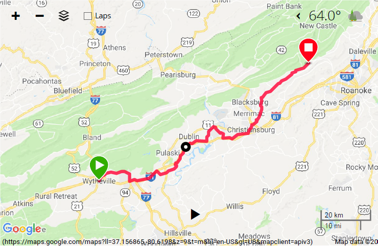
Map Day 64


Excitement of another goal that sounds daunting. You can doooo ittttt!
Love the pictures! The food sounds amazing!
Thanks for your kind words. It was nice meeting you.
Philippe, the cook/cashier/only employee in the store that day.